search
Syngrou avenue Athens map
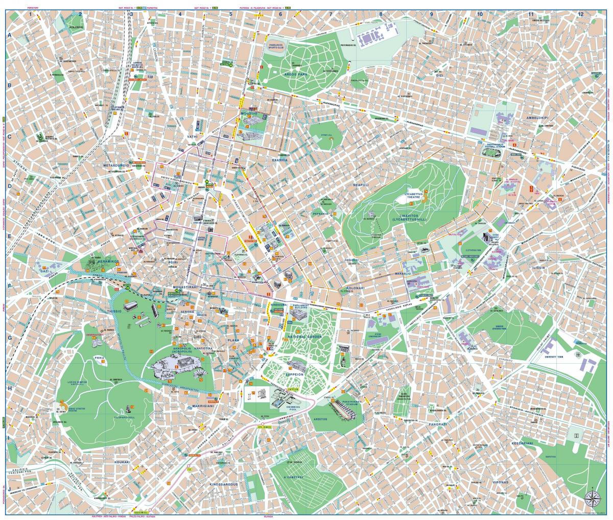
Map of syngrou avenue Athens. Syngrou avenue Athens map (Greece) to print. Syngrou avenue Athens map (Greece) to download. Syngrou Avenue is one of the few big arteries of Athens (see syngrou avenue Athens map). Andrea Syngrou Avenue is interrupted by very few crossing roads. This secures an almost continuous flow of traffic from downtown – the end of Vasilissis Sofias Avenue, near the Temple of Olympian Zeus – to the coastal road of Poseidonos Avenue.
Syngrou Avenue, built on a fairly wide ancient road (as its shown in syngrou avenue Athens map), is an important artery in Athens that connects the center of the city with the coastal area. Syngrou avenue Athens is the road to the sea, 5 kilometers long, that Athenians have always taken to go swimming at the beaches of Faliron, Glyfada and Vouliagmeni. Syngrou avenue Athens begins as a 30-meter wide street, with a pedestrian refuge sidewalk between the two roads, near the temple of Zeus, the Olympiæion, and gradually widens to 70 meters wide towards its end, near the bay of Faliron.


