search
Athens area map
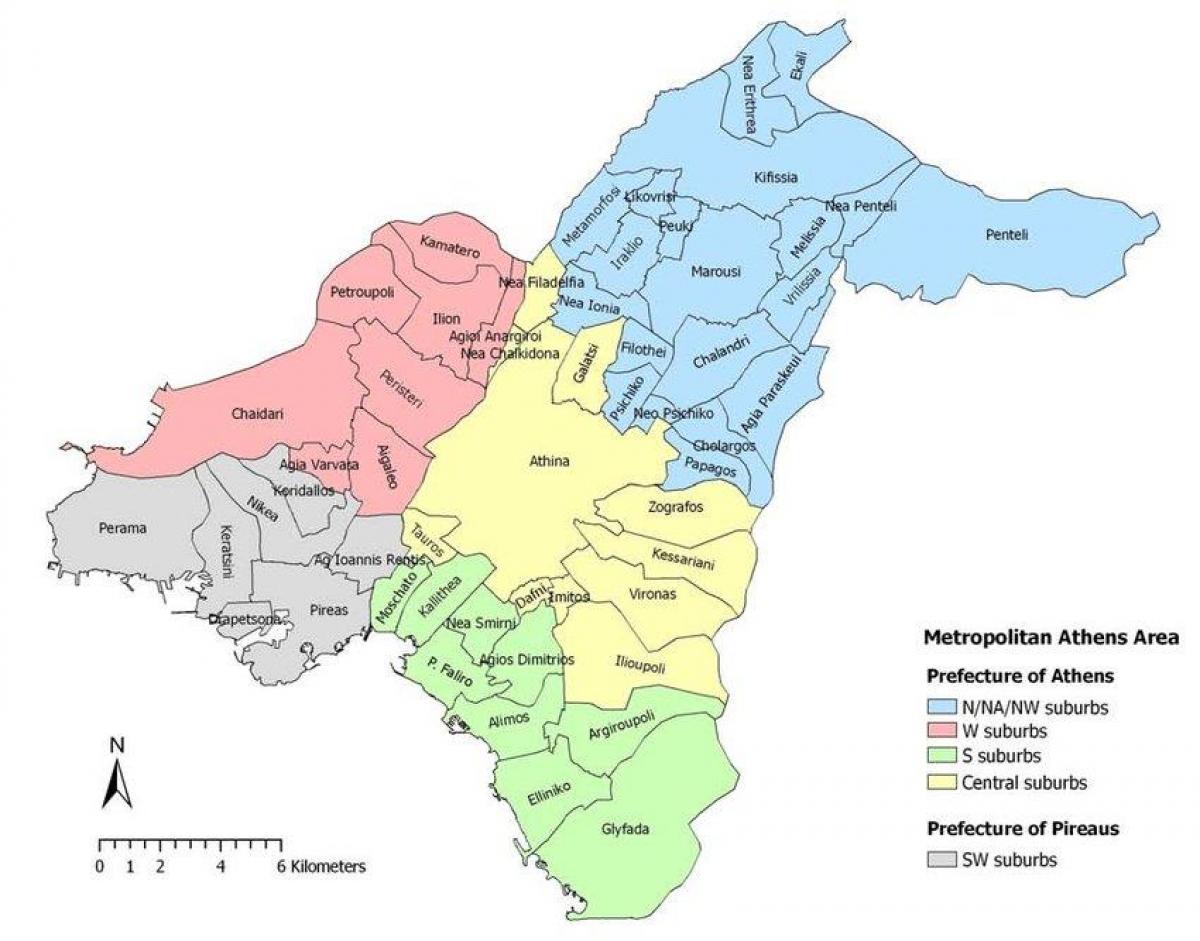
Map of Athens and surrounding area. Athens area map (Greece) to print. Athens area map (Greece) to download. The Athens Metropolitan Area consists of 73 densely populated municipalities, sprawling around the city of Athens to virtually all directions. According to their geographic location in relation to the city of Athens, the suburbs are divided into four zones namely the northern suburbs, the southern suburbs, the eastern suburbs and the western suburbs (as its shown in Athens area map).
The northern and most of the southern areas of Athens are particularly affluent districts, resided primarily by middle-to-high and high incomers. The western suburbs are primarily occupied by residents of middle income, with a few middle-to-low income areas, and some middle-to-high income sections. The eastern suburbs are primarily middle and middle-to-high income areas (see Athens area map). The Mall Athens is a massive mall, located in the northern suburb of Maroussi, that provides a vast number of shops.


