
search
Kypseli Athens map
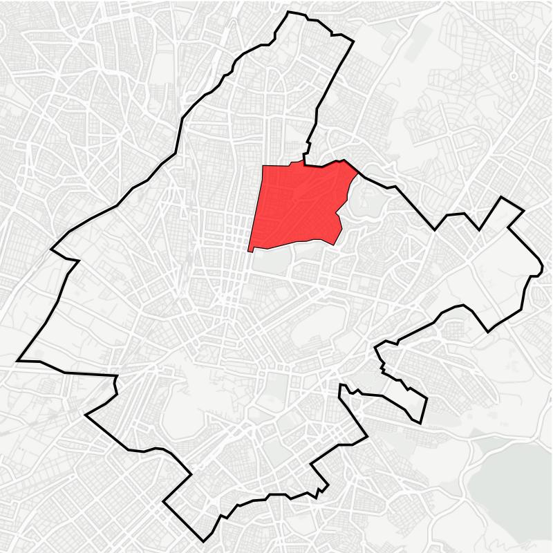
Map of kypseli Athens. Kypseli Athens map (Greece) to print. Kypseli Athens map (Greece) to download. The boundaries of Kypseli (see kypseli Athens map) are set by Patission Street, the Tourkovounia hill, the Municipality of Galatsi and the Pedion Areos park. The commercial areas are Patission, Fokionos Negri pedestrian Street and recently the square of Agios Georgios. The area of kypseli Athens is known for its many theatres. The surrounding streets of kypseli Athens are a mixture of old world Greek life and modern multiculturalism. Old men sit playing dominoes outside traditional ouzeries, and Ethiopian restaurants, Kurdish kebab houses and shisha bars can all be found nearby.
When you walk through the streets of Kypseli (see kypseli Athens map) the first thing you will notice is the remarkable mix of architectural styles, from crumbling neoclassical mansions to striking Bauhaus designs with rounded balconies and graphic front doors. And pretty soon you will notice that the neighbourhood residents of kypseli Athens match this eclecticism, too. A mixture of African and Middle Eastern migrant communities have settled in Kypseli over the past two decades, transforming one of Athens’s oldest neighbourhoods into its only truly multicultural one.