search
Athens city map
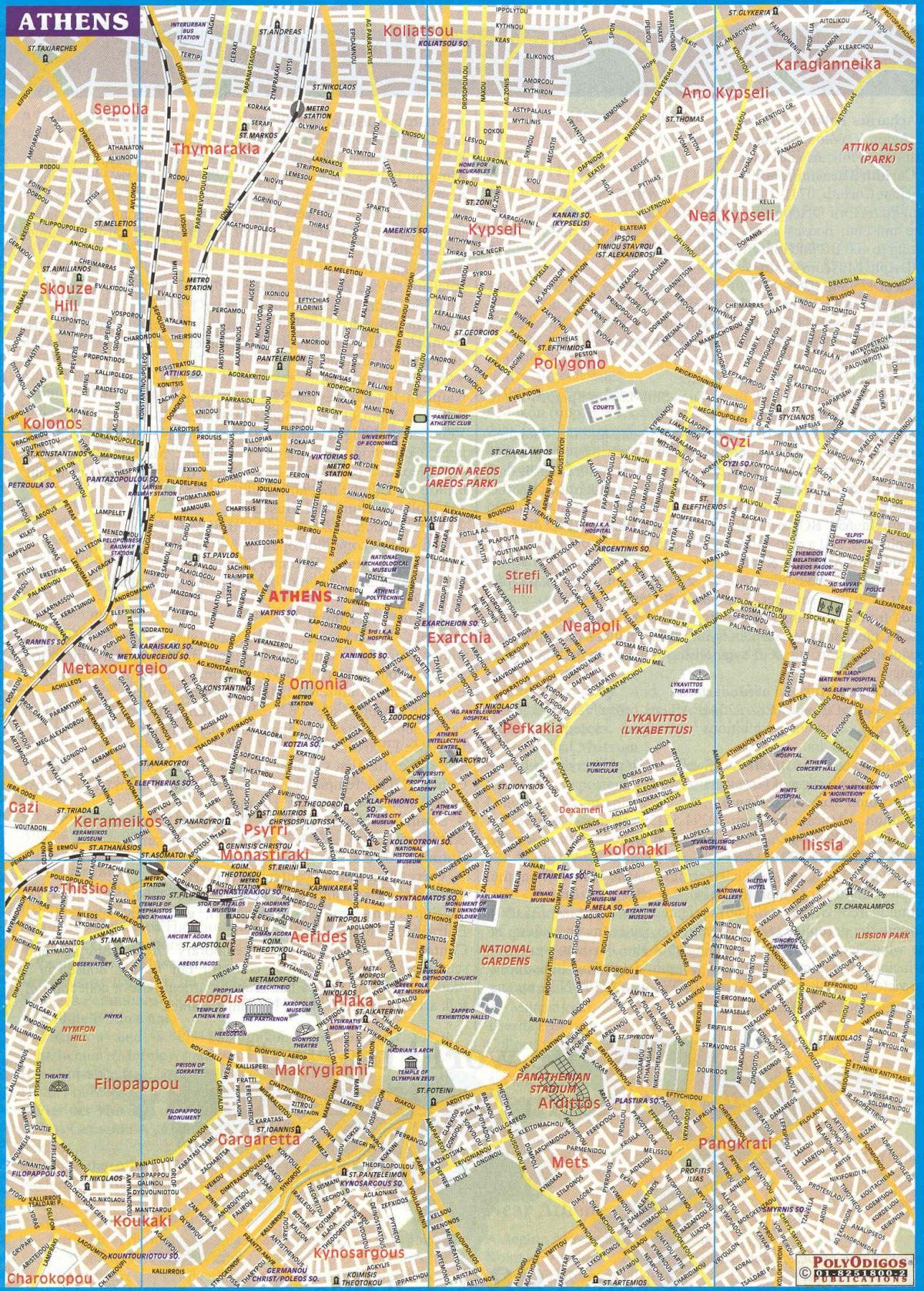
City map of Athens greece. Athens city map (Greece) to print. Athens city map (Greece) to download. The modern city of Athens consists of what was once a conglomeration of distinct towns and villages that gradually expanded and merged into a single large metropolis; most of this expansion occurred during the second half of the 20th century (see Athens city map). The Greater Athens city is now divided into 55 municipalities, the largest of which being the Municipality of Athens or Dimos Athinaion, with a population of 745,514 people.
Athens city is divided into seven municipal districts or demotika diamerismata. The 7-district division, however, is mainly used for administrative purposes. For Athenians the most popular way of dividing the Athens city proper is through its neighborhoods (see Athens city map), each with its own distinct history and characteristics.
The Athens city is the most populous of all the Greek Prefectures accounting for well over 2.6 million of the 3.7 million in the Attica Periphery (see Athens city map). Athens city can refer either to the entire metropolitan area or to the Municipality of Athens. The next largest municipalities of Athens metropolitan area are the Municipality of Piraeus, the Municipality of Peristeri and the Municipality of Kallithea.


